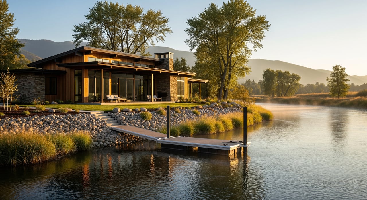
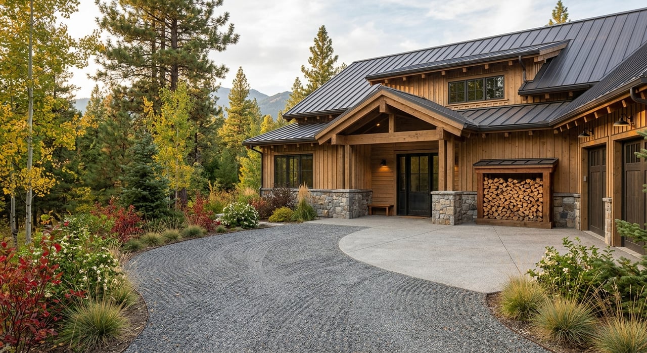
You can picture the view already: cottonwoods along the Bitterroot, a morning cast for trout, and sunset light off the Sapphire foothills. Buying riverfront in Corvallis can deliver that lifestyle, but the river sets its own rules. If you understand seasonal water behavior, access, insurance, permitting, and how to craft a strong offer, you can move with confidence. This guide walks you through the key steps to evaluate properties in 59828 and make a smart purchase. Let’s dive in.
Understand Bitterroot River seasons
The Bitterroot River changes throughout the year, and those shifts affect safety, access, and value.
Spring runoff and high water
Late spring snowmelt brings the highest flows. Expect elevated flood risk, faster current, and murky water that makes it hard to see the true shoreline. This is when you evaluate how water moves across the property, where it ponds, and whether the bank shows active erosion. Roads near the river can collect debris or experience brief closures in wet periods, so confirm if access is maintained year round.
Summer and early fall low flows
Lower, clearer water in late summer and early fall reveals the usable shoreline and the true recreational feel. You can assess wading, fishing entries, and potential launch points. It is also the best time to look at the distance from the waterline to trees, outbuildings, and the home.
Fall and winter access checks
Cold weather can bring freeze and thaw cycles that stress banks and rural roads. In leaf off months, you can see longer sightlines and past erosion scars that are hidden by summer growth. If you plan to visit a property in winter, ask about gate access, snow removal, and whether the road is county maintained or private.
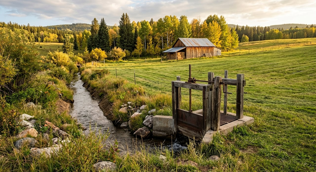
Access, wells, and septic near the river
Near river water tables can be shallow. That is good for well recharge but it can also affect septic systems. Seasonal drawdown and recharge cycles may change well performance and drainfield function. Include well flow and water quality tests in your due diligence, and ask for a septic inspection. If groundwater sits high during parts of the year, you may need to plan maintenance or design adjustments.
Recreation is part of life along the Bitterroot. Floating and fishing use varies by season and by proximity to public access points. If privacy matters to you, note nearby put ins and take outs and visit at different times of day.
Public access and boundaries
Montana Stream Access basics
Under Montana’s Stream Access Law, the public can use surface waters capable of recreation up to the ordinary high water mark. Even if you own land next to the river, people may legally pass along the water edge up to that mark. This boundary is site specific. You should verify how it applies on the parcel you are considering.
Surveys and the high water mark
Riverfront boundaries are not always obvious and can change with erosion or accretion. Hire a licensed surveyor to map the high water mark and the recordable boundaries. Ask the surveyor to show any access, conservation, or recreational easements that cross the property. A clear map helps you plan improvements and avoid disputes.
Permits and development rules
Most in stream or near bank work requires permits. Plan early and expect seasonal work windows.
- County level: Ravalli County planning, zoning, and floodplain management may set setbacks, elevation requirements, and floodplain development rules.
- State level: The Montana Department of Natural Resources and Conservation oversees water rights and certain water use permits. Montana Fish, Wildlife & Parks sets in stream work timing and fishery protections.
- Federal level: The U.S. Army Corps of Engineers may be involved for work that affects wetlands or navigable waters.
Common projects that may need approvals include bank stabilization such as riprap, docks or small piers, fills, and grading near the river. Ask sellers for copies of any prior permits and receipts so you can confirm compliance.
Floodplain and FEMA designations
Check the parcel’s FEMA flood zone. If it is in a Special Flood Hazard Area, your lender will likely require flood insurance. Ask whether an elevation certificate exists for the home. If not, budget time and cost to obtain one during your contingency period.
Insurance and financing basics
Flood insurance and NFIP
Standard homeowners policies exclude flood damage. If your property is inside a FEMA Special Flood Hazard Area, lenders typically require flood insurance. Confirm whether the community participates in the National Flood Insurance Program and request quotes early. Private flood policies may be available in some cases and can differ in coverage and price.
Other coverage gaps to check
- Erosion and land loss are generally not covered by standard flood insurance. Gradual bank loss is often excluded.
- Earth movement such as landslide is commonly excluded unless endorsed.
- Sewer or water backup coverage is an optional endorsement that many riverfront buyers add.
- Rural wildfire risk can affect premiums and defensible space requirements. Review exclusions and mitigation credits.
Lender and appraisal notes
Expect lenders to review title, flood risk, and access closely. Properties in flood zones often require elevation certificates and can carry different down payment or underwriting requirements. Appraisers consider limited seasonal access, maintenance needs, and flood exposure when they value a property, which can influence loan terms.
Inspections and ongoing upkeep
Pre purchase inspections to prioritize
- Licensed survey that shows legal boundaries, easements, and the high water mark.
- Standard home inspection for structural and systems review.
- Bank stability and hydrologic assessment by a qualified geotechnical or river engineer if you see erosion, steep banks, or recent bank work.
- Septic inspection and, if needed, soil percolation testing.
- Well flow test and water quality testing.
- Invasive and noxious weeds assessment.
- Wetlands delineation if you plan to develop or alter the site.
Maintenance you should expect
- Bank stabilization upkeep and vegetation management, including invasive species control and maintaining a native riparian buffer.
- Dock or launch care, including seasonal installation and winterizing if applicable.
- Regular septic pumping and potential adjustments if high water impacts the drainfield.
- Well pump servicing, winterization, and ongoing water testing.
- Road and driveway care on private access, including snow removal, grading, and culvert maintenance.
- Insurance renewals and possible premium changes after significant flood events.
Maintaining a native vegetation buffer often stabilizes banks, supports habitat, and can reduce permitting friction when you propose work near the river.
Viewing strategy and due diligence
Best times to tour
Each season reveals something different. If possible, view the property in more than one season.
- Late spring high water shows flood behavior, overflow patterns, and how access holds up when flows peak.
- Late summer or early fall low flow reveals the true shoreline, entry points for fishing or floating, and how close the water sits to structures.
- Late fall or winter leaf off makes it easier to spot long term erosion, sightlines, and structural conditions.
- If you tour after a storm or high water event, use caution. You can learn a lot about weak points but safety comes first.
Contingencies and documents to obtain
Build a smart contingency period that protects your interests and keeps your offer competitive.
- FEMA flood zone determination and an elevation certificate.
- A current survey including the high water mark and all easements.
- Bank stability or hydrologic report if erosion is a concern.
- Septic and well reports for function, yield, and water quality.
- Full title review for access, shoreline improvements, and conservation restrictions.
- Copies of prior permits for docks, bank stabilization, or in stream work.
- Seller disclosures on flood history, prior repairs, and insurance claims.
- Local zoning and setback verification, plus a check on potential nearby development.
Offer strategy in tight inventory
Riverfront parcels near Corvallis are scarce. Preparation helps you act quickly without skipping essentials.
Ways to stand out
- Secure a strong pre approval or proof of funds so sellers see you are ready.
- Use a local agent familiar with Bitterroot River properties and permit timelines.
- Keep key contingencies such as survey, title, septic, and well, but set efficient timelines. Shorter windows can strengthen your position without giving up vital protections.
- Consider earnest money and an escalation clause if the situation calls for it. Use these tools carefully and with clear caps.
- If you need multiple specialists, include a defined schedule for surveyors and engineers so sellers know you will move fast.
Negotiation levers that work
- Offer to close quickly if the seller wants certainty while keeping critical inspections intact.
- Request credits for mitigation or repairs where your reports show clear needs.
- If bank work is required, bring realistic cost estimates from qualified engineers to support a price adjustment or seller repairs before closing.
Partner with a local advisor
Buying riverfront in 59828 is all about timing, clarity, and the right team. With 25 plus years of local experience and a network of surveyors, water and easement experts, and river engineers, you get a partner who anticipates the details and protects your interests while you focus on fit and lifestyle. If you are ready to explore the Bitterroot River from Corvallis to Hamilton, let’s talk about your goals and next steps.
Ready to walk a property or plan a viewing strategy? Reach out to Stacie Roberts for a free consultation.
FAQs
Who owns the riverbed in Corvallis and can the public walk along my shore?
- In Montana, the public can use waters capable of recreation up to the ordinary high water mark. Ownership and the exact boundary vary by parcel, so verify with a licensed survey and review how the law applies at your site.
Will my lender require flood insurance for a Corvallis riverfront home?
- If the home is in a FEMA Special Flood Hazard Area, most lenders require flood insurance. Costs depend on flood zone, elevation data, and the structure, so request quotes early and ask if an elevation certificate is available.
Can I build a dock or stabilize my riverbank on the Bitterroot?
- Often yes, but expect permits from Ravalli County, the Montana DNRC, Montana FWP, and possibly the U.S. Army Corps of Engineers. Many projects have seasonal work windows and require mitigation plans.
How can I tell if erosion will be a problem on a specific parcel?
- Order a bank stability or hydrologic assessment, review historical conditions during leaf off, and ask for records of prior bank work. Engineer estimates will help you plan or negotiate.
What inspections are non negotiable for a Bitterroot riverfront purchase?
- A survey that includes the high water mark, septic inspection, well flow and water quality tests, and a hydrologic or geotechnical review if there are signs of erosion or steep banks.
When is the best time to tour a Corvallis riverfront property?
- Tour at both high water in late spring to see flood behavior and at low water in late summer or early fall to evaluate shoreline use. A leaf off visit can also reveal erosion patterns and sightlines.