Hamilton MT Neighborhoods Overview: Find Your Best Fit
March 24, 2026
March 24, 2026
Trying to figure out where your best Hamilton fit is, the walkable core, the view-filled benches, or the wide-open rural pockets beyond? You are not alone. Hamilton offers distinct micro-areas that feel very different on the ground, from compact historic streets to hillside homes and riverfront retreats. In this guide, you will get a clear, map-friendly overview of your options, practical search tips, and a buyer checklist to help you move forward with confidence. Let’s dive in.
Hamilton sits in the Bitterroot Valley as the county seat of Ravalli County, with a compact historic downtown and a prominent river corridor along the Bitterroot River. The community centers around Main and First Street, civic buildings, and River Park. For regional access, U.S. Highway 93 is the main north–south route to Missoula, about 45 to 50 miles away, which the City of Hamilton notes in its community resources and contacts. You can explore local services and planning contacts on the City of Hamilton.
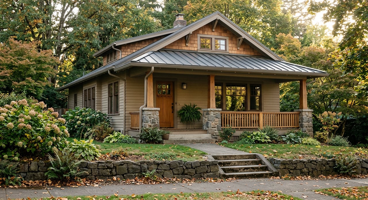
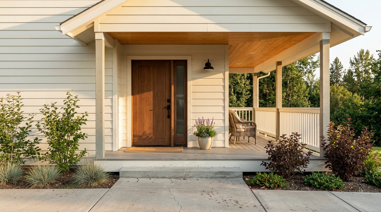
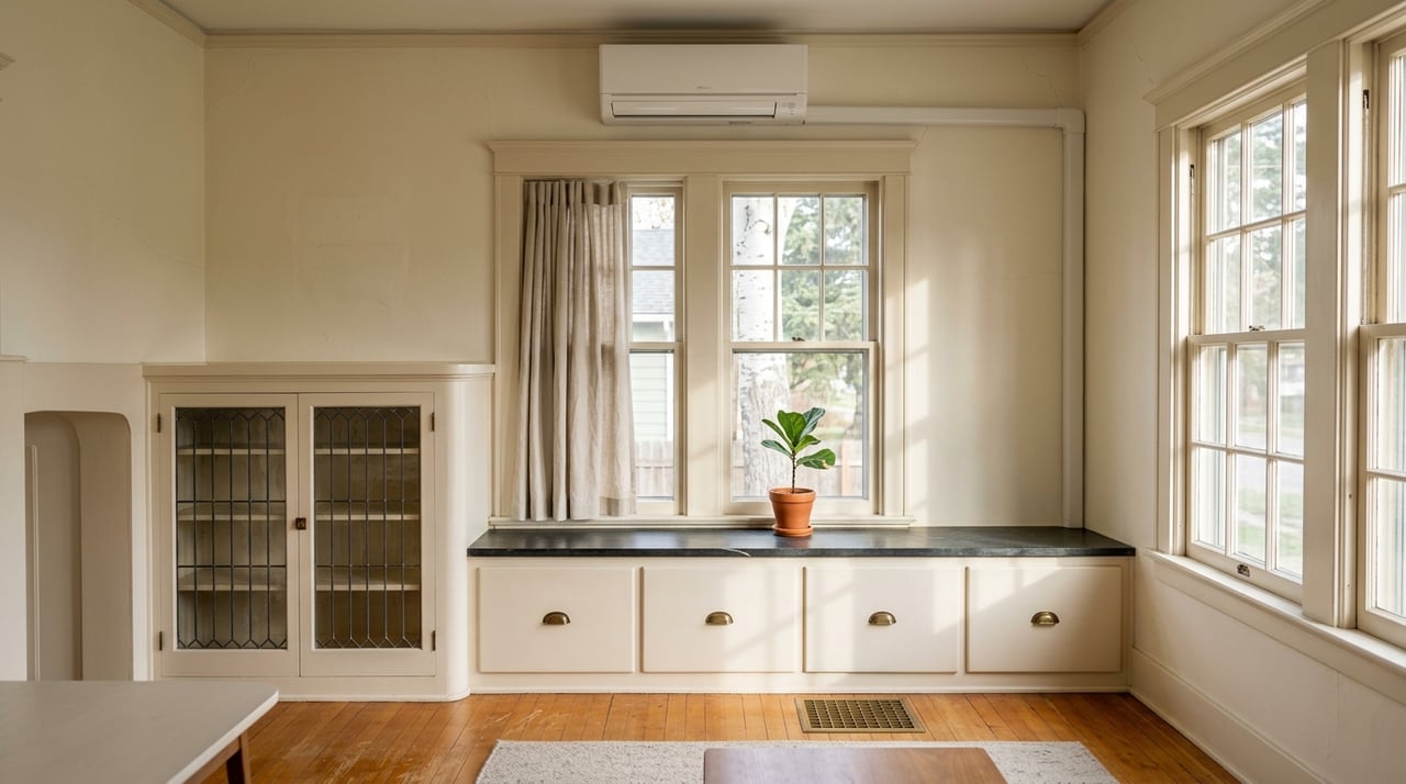
Downtown Hamilton holds a mix of late 19th and early 20th century homes alongside mid-century cottages. You will see classic architectural details around Main and First Street, while River Park and the trail network anchor the outdoor scene. Many in-town properties sit on smaller lots and, if inside city limits, often connect to municipal water and sewer. For local history and downtown context, the Ravalli County Museum offers helpful background.
Choose in-town if being minutes from coffee, shops, and parks matters most. Walkability is strongest in the immediate downtown blocks near River Park, then it tapers as you move outward. A quick snapshot like the Walk Score example near West Main shows how this can vary by address.
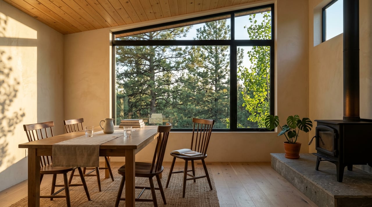
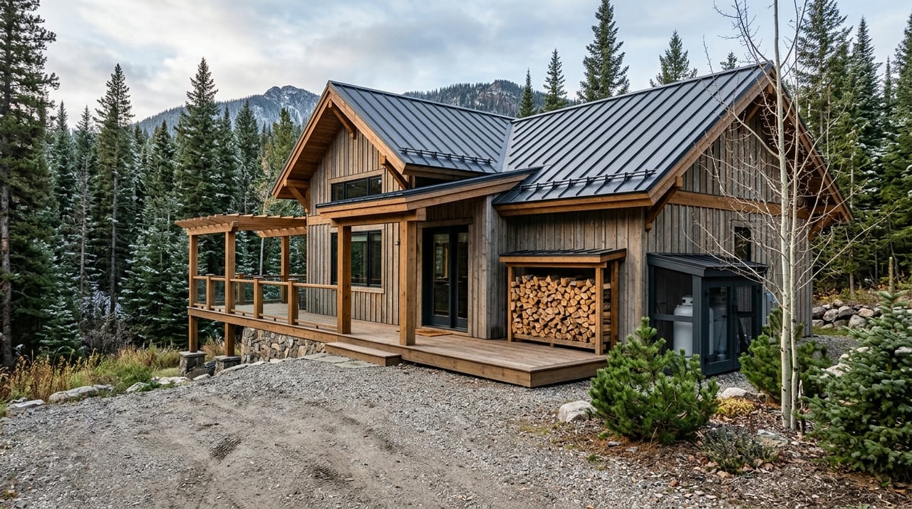
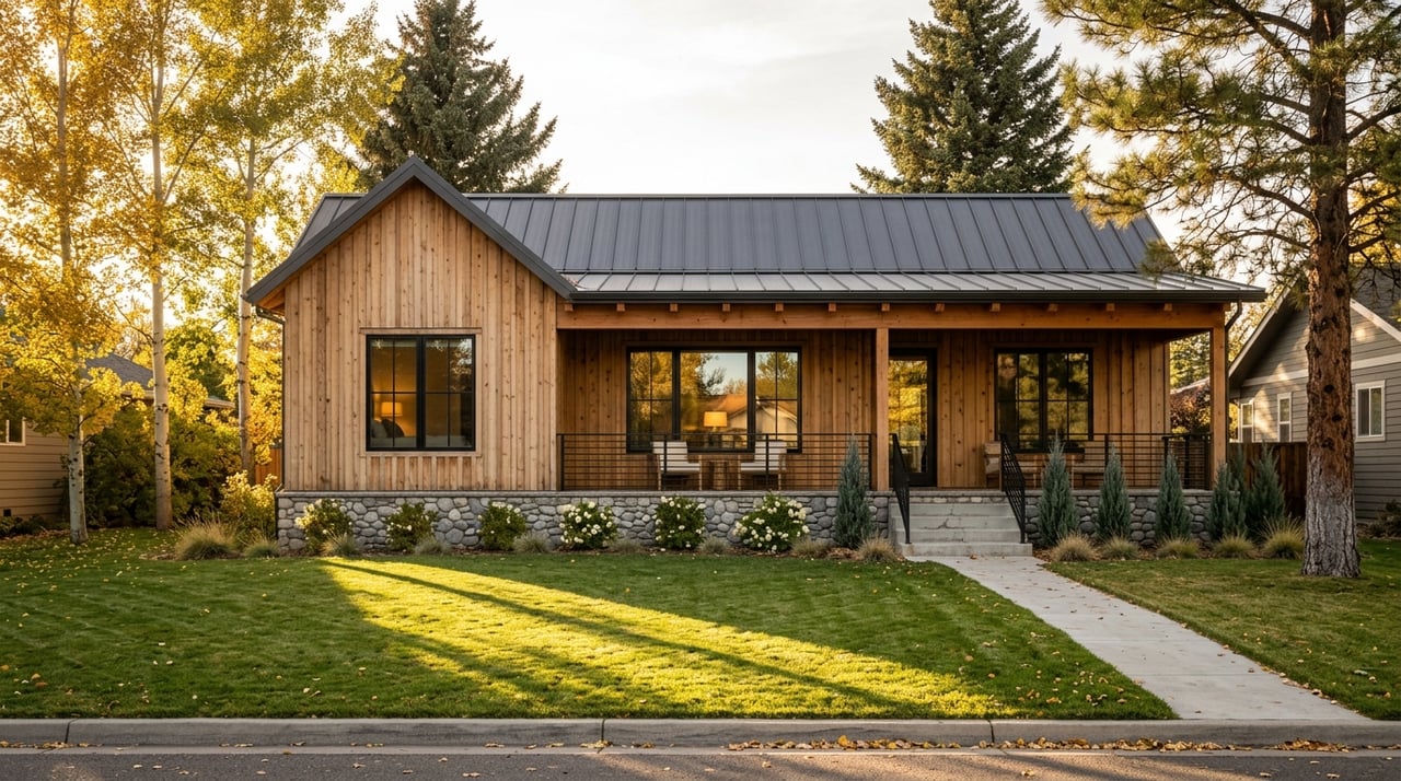
“Bench” describes terrace and hillside areas above the valley floor. These locations often provide elevated sites with valley and mountain views, plus a mix of single-family homes, small acreages, and custom builds. Expect some sloped driveways and varied sun exposure by aspect. Use elevation shading or LiDAR contours in the city and county web maps to see where grade changes occur.
Pick the benches if you want space and views with a short drive to downtown. Many buyers value the mix of privacy and proximity, especially when outdoor decks and big windows open to the valley. Winter access planning and driveway grades deserve a close look if you commute early or return after dark.
Homes along the Bitterroot River range from river-adjacent addresses to parcels with frontage. River Park is a community anchor and offers a broad public greenbelt along the water. These properties attract buyers who value fishing, wildlife, and open views.
Flood risk is a core due diligence item. The Bitterroot River corridor includes FEMA mapped floodplains regulated by Ravalli County. Before assuming buildability or insurability, review the county’s floodplain rules and the official FEMA DFIRM maps. Start with the county’s overview page for requirements and contacts at Ravalli County Floodplain, then reference the FEMA DFIRM PDF. Lenders and insurers often request elevation certificates, so plan time for that step.
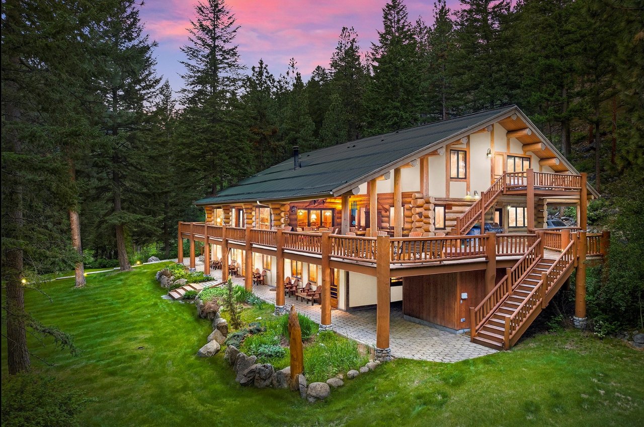
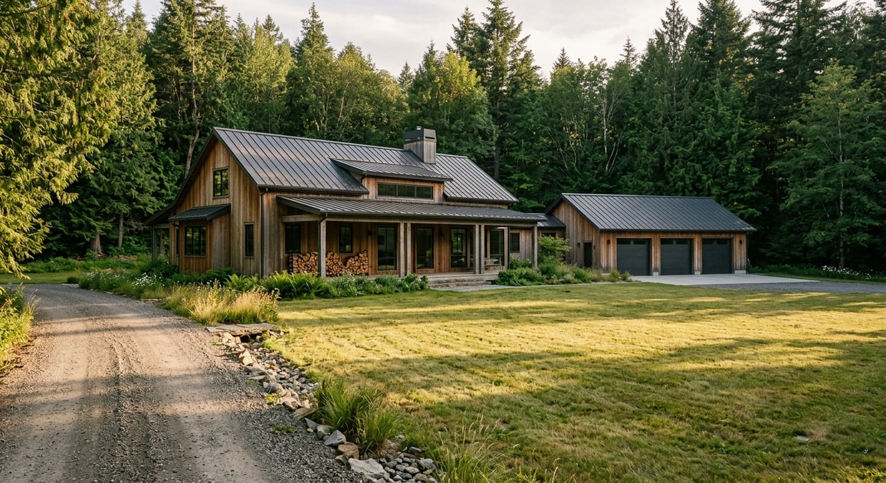
A ring of small communities and rural acreages surrounds Hamilton. Nearby examples include Grantsdale immediately south, Corvallis to the north, and other valley pockets with larger parcels. Many rural properties have wells and septic systems, plus the potential for irrigation infrastructure on certain parcels.
Go rural if you want elbow room, privacy, and space for a shop or barn. These areas suit buyers who do not mind a longer drive to downtown services. If you value starry nights and room to spread out, the rural ring often delivers.
Use this quick list to confirm key items before you write an offer.
Ready to map your move and tour the right pockets first? With 25-plus years of Bitterroot Valley experience, a boutique, high-touch approach, and deep land and water knowledge, Stacie Roberts can help you compare options, vet risks, and negotiate with confidence. Schedule a free consultation and let’s find the Hamilton setting that fits your life.
Stay up to date on the latest real estate trends.
Whether you're searching for a luxury home, ranch, riverfront property, or preparing to sell your home, land, ranch, or investment property, Stacie Roberts delivers personalized guidance, expert negotiation, and concierge-level service from start to finish. If you're ready to make your next move in Western Montana, contact Stacie today to begin the conversation.